
Duncan Neighbor Block Sources
A Duncan block is first a set of adjacent parcels, not a list of current people. The parcel route can show boundaries, assessment labels, tax districts, and legal descriptions. The Clerk route can show recorded instruments. Maps can show the historic layout. City and community sources can add public civic or organization context, but none of those layers is a complete household roster.
| Block source | What it can show nearby | Access and limit |
|---|---|---|
| Assessor-linked parcel map | Parcel shapes, tax-district labels, print, and distance or adjacency controls | Vendor-linked route, with live parcel capture still pending |
| Stephens County Assessor | Assessment parcel, legal-description, and value context | Official office and linked portal; live field inventory is unverified |
| County Clerk instruments | Recorded deeds, easements, parties, and legal-description clues | Search each parcel or description; images can require account or counter access |
| City planning or code custodian | Existing address-specific permit, zoning, occupancy, or code records if retained | Request by address and date range; no public index was located |
| OHS and LOC maps | Historic blocks, street form, building use, and business context | Map and research collections, not a current-person source |
| Community organizations | Civic, business, supporter, or private-association context | Not a household list and not a basis for a resident claim |
Owners, mailing addresses, and physical presence are separate facts. A parcel label can be a good research lead, but it does not prove who is present on the block today.
Duncan parcels, Duncan mailing labels, Duncan map shapes, Duncan deed records, and Duncan civic sources remain separate facts.
Map Duncan Neighbors by Parcel
DataScout's assessor-linked property view displayed Property Owner, Tax District, parcel mapping, print-parcel information, and distance or adjacent-parcel tools. Research did not verify a full live Duncan parcel result, layer legend, export option, update date, or whether all names are visible without a paid account. Treat the map as a convenience route and reconcile its result with the assessor record, legal description, and recorded instrument.
- Validate the known address with USPS, then confirm the civic form through E911 or the appropriate city or county route if needed.
- Use the assessor route to identify the situs, parcel number, tax district, and legal description.
- Open the map context and note only the immediately adjacent parcel shapes and labels.
- Compare each relevant parcel with the assessor record and retrieval date.
- Use the legal description in the County Clerk index for a deed, easement, or other recorded-instrument question.
- Stop when the question is answered, rather than collecting unrelated records from a block.
The Stephens County Assessor is the official office for the assessment layer. For a full named-street record chain, use the Duncan street directory rather than expanding an immediate-block check into a broad search.
Duncan address forms, Duncan parcel numbers, Duncan tax districts, Duncan legal descriptions, and Duncan retrieval dates should be retained.
Note: Label the source and date for every parcel result because map displays can change.
Duncan Neighbor Parcel Terms
Plain definitions prevent a block map from being overstated. A parcel is a defined piece of land in an assessment or mapping system. A situs address identifies the physical location used in the record, while a mailing address is where a tax notice may be sent. A legal description identifies land through lot, block, addition, or survey language and can outlast a changed street label.
- Adjacent parcel
- A parcel that touches or sits immediately next to another parcel on the map; that spatial relationship does not prove a shared owner or household.
- Tax district
- An assessment label associated with a parcel for tax purposes, not a statement about who lives there.
- Recorded instrument
- A document filed with the County Clerk, such as a deed or easement, that carries its own parties and recording data.
- Legal description
- The land-identifying text used to connect the assessor route with older recorded material.
The address-matching order documented for Duncan is USPS validation, E911 or planning confirmation, assessor situs and parcel, Clerk legal description, and then a historic map or Sanborn block. That order makes it less likely that a modern number will be forced onto an older record.
Duncan situs labels, Duncan mailing records, Duncan map context, Duncan Clerk entries, and Duncan historic blocks answer different questions.
Duncan Neighbor Community Layers
Community connections around a block appear in several separate layers. City boards and commissions show public appointments. The Chamber and Main Street provide organization and supporter context. Duncan's Ridge HOA has a private local page describing Duncan's Ridge, Buckhorn, Creek, and surrounding areas. The research did not locate an official complete boundary map or an open association roster, so these should remain context leads rather than proof about a particular address.
| City boards and commissions | Public bodies include planning, parks, lakes, library, airport, EMS, Main Street, and other civic functions. Appointment affiliation is not a neighborhood roster. |
|---|---|
| Duncan Chamber | Community guide and member directory context at 931 W Peach Ave, 580-255-3644. It is a business and membership layer. |
| Main Street Duncan | Supporter-directory context at 828 W Main, Suite B, 580-252-8696. It is a downtown organization layer. |
| Duncan's Ridge HOA | A private local association lead for named areas. Do not scrape or republish member information; boundary and current status need confirmation. |
| Named place labels | Chisholm Oaks, a named addition, and southwest Duncan appear in city infrastructure context, not as an official neighborhood inventory. |
The City of Duncan Quick Links page is a practical way to reach library, genealogy, permit, cemetery, and municipal destinations without mistaking municipal links for a resident directory.
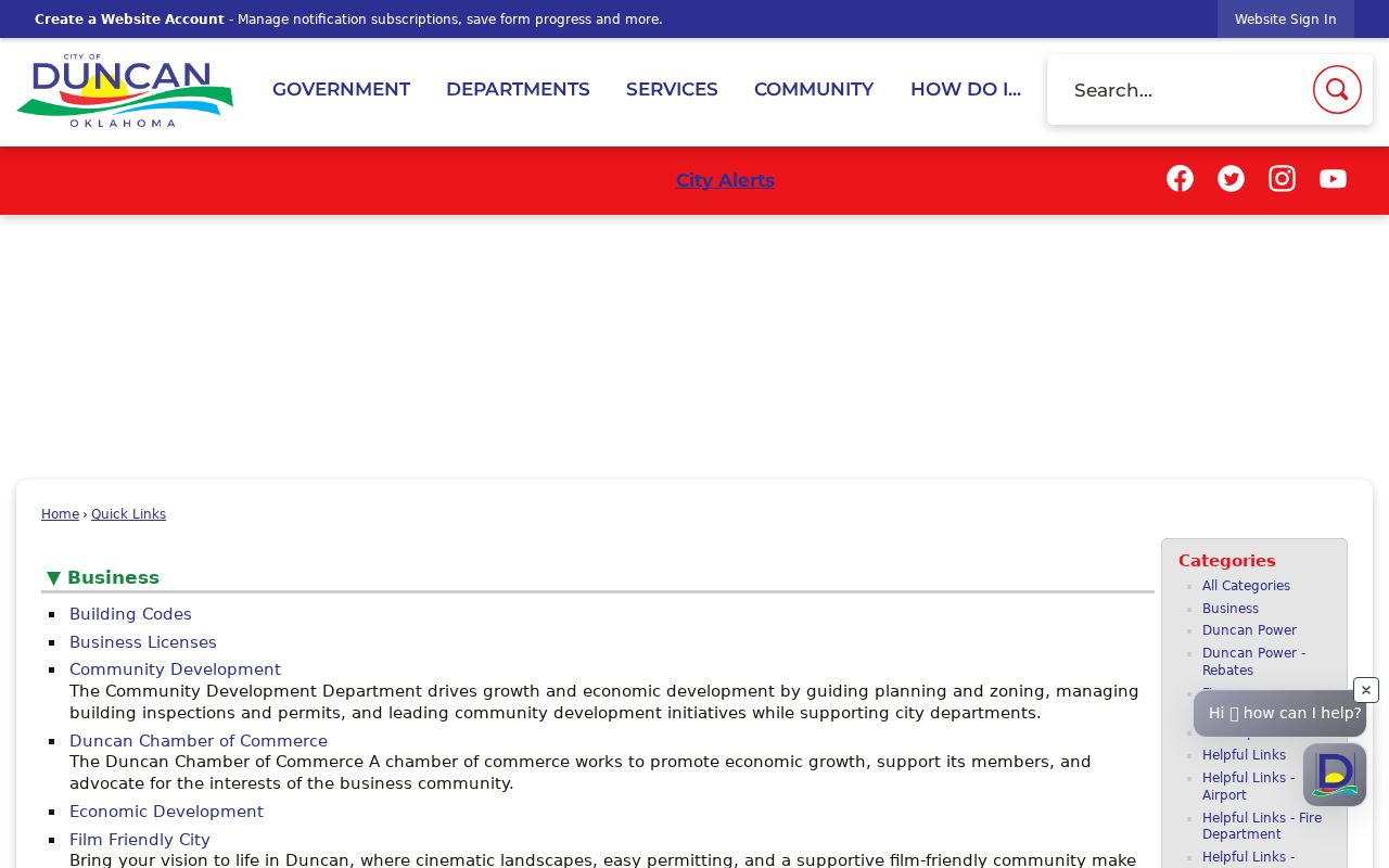
The city’s quick-link layout is useful for routing a narrow civic-record question to the relevant public service or custodian.
Duncan boards, Duncan organization lists, Duncan association leads, Duncan civic links, and Duncan city services should not be combined as a roster.
Duncan Neighbor Voter Limits
Oklahoma's Voter Portal is principally an individual's own registration-service route. It uses the name as registered, date of birth, and verification prompts for its services. It is not an open block roster. The public voter-field rules and the Election Data Warehouse are separate from that personal portal, and both include restrictions that matter before any address-level research is considered.
State materials identify public voter fields such as name, date of birth, precinct, registration address, mailing address where different, affiliation, status, districts, registration date, and permitted election history. Phone, email, race or ethnicity, driver-license information, and Social Security information are not public. Protected voters and Address Confidentiality Program participants can be omitted or restricted.
The EDW current-file route is limited to qualifying Oklahoma requesters who sign the required form. Its availability does not create a general Duncan block roster, and an address in an authorized data file is not proof of present physical presence. The Oklahoma Voter Portal remains the documented route for a voter’s own services.
Duncan voter services, Duncan restricted records, Duncan precinct context, Duncan address fields, and Duncan privacy rules require separate handling.
Duncan Neighbors Across Historic Blocks
The seven-sheet September 1908 Duncan Sanborn set can show a block’s former buildings, businesses, streets, and land use. Pair it with OHS plats, a deed legal description, the historic-register survey, and a dated newspaper or obituary reference. A historic block can explain an old address or business name, but it should never be recast as a current block record.
Duncan's historical anchors include People’s Ice at 602 W Main, built in 1904, a cotton gin at 701 S 7th, and the Halliburton administration building at 1011 to 1015 Bois d’Arc Avenue, built in 1942. These examples illustrate how place references survive in maps and surveys. They are not a complete inventory and do not identify current occupants.
For a narrow civic-context check, the Mayor’s Transparency Portal supplies budgets, audits, public-records access, and council-schedule context, not a person index.
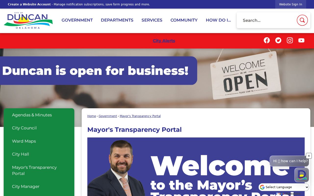
The transparency portal helps identify the municipal route for an existing civic record when a map or parcel label raises a specific question.
Duncan map dates, Duncan historic uses, Duncan transparency records, Duncan parcel clues, and Duncan source citations should stay distinct.
Duncan Neighbor Source Comparison
Official records and commercial block-finding products do not answer the same question. Official sources identify their custodian, source date, and limits. Commercial category tools may combine stale, mismatched, or unexplained data. A records question is better resolved through the county, city, state, library, or map source that actually keeps the underlying record.
| Route | Strength | Limit to retain |
|---|---|---|
| Official assessor or Clerk record | Named custodian, parcel or instrument context, and retrieval date | Does not prove present physical presence or every interest in a parcel |
| Official city, map, or library record | Specific civic, historic, or collection context | Coverage follows that record series, not a whole block roster |
| Commercial block-tool category | May offer a quick starting claim | Accuracy, source date, matching method, and lawful-use limits may be unclear |
Use the official source to check a narrow fact, then preserve its URL, title, date, parcel or instrument number, and a short result note. Do not merge unrelated material into a new profile.
Duncan official records, Duncan map sources, Duncan library material, Duncan city records, and Duncan county instruments each carry their own limits.
Duncan Neighbor Privacy Limits
Public does not mean unrestricted. Court materials can be withheld for juvenile, sealed, protected-victim, and other confidential matters. Vital-record certificates have separate eligibility rules. The Address Confidentiality Program uses a substitute address for qualifying participants and keeps those records confidential except by court order. A narrow search should use the least identifying information needed to resolve the source question.
For an address-specific city question, request an existing record by address and date range rather than asking staff to create a new block list. Keep the official URL, title, access date, and relevant case, parcel, or instrument reference. Redact unnecessary dates of birth, phone numbers, email, identification numbers, and protected address details in any saved note or image.
Lawful use. Duncan block research can support personal safety awareness, civic curiosity, and a narrow property or history question. Never use a record to watch, harass, intimidate, stalk, or harm another person.
Duncan privacy limits, Duncan protected records, Duncan request scopes, Duncan source dates, and Duncan redaction practices protect people and context.
Duncan Neighbor Record Requests
When the online parcel route does not answer a specific question, use the documented access chain. Ask the Assessor for the assessment context, the County Clerk for a recorded-instrument question, the city custodian for an existing address-specific municipal record, the library or OHS for historic context, and USPS for address validation. The strongest request includes a parcel, legal description, address form, instrument number, or date range.
No separate official Stephens County GIS viewer was found in the inspected county pages. That unresolved capture is a reason to verify the live map route before relying on an interface feature, not a reason to assume unverified layers or search fields are available.
Duncan office routes, Duncan record keys, Duncan date ranges, Duncan map limits, and Duncan live-form checks support a narrow request.